
Topographic Mapping and Aerial Inspection Experts
Precision From the Ground Up
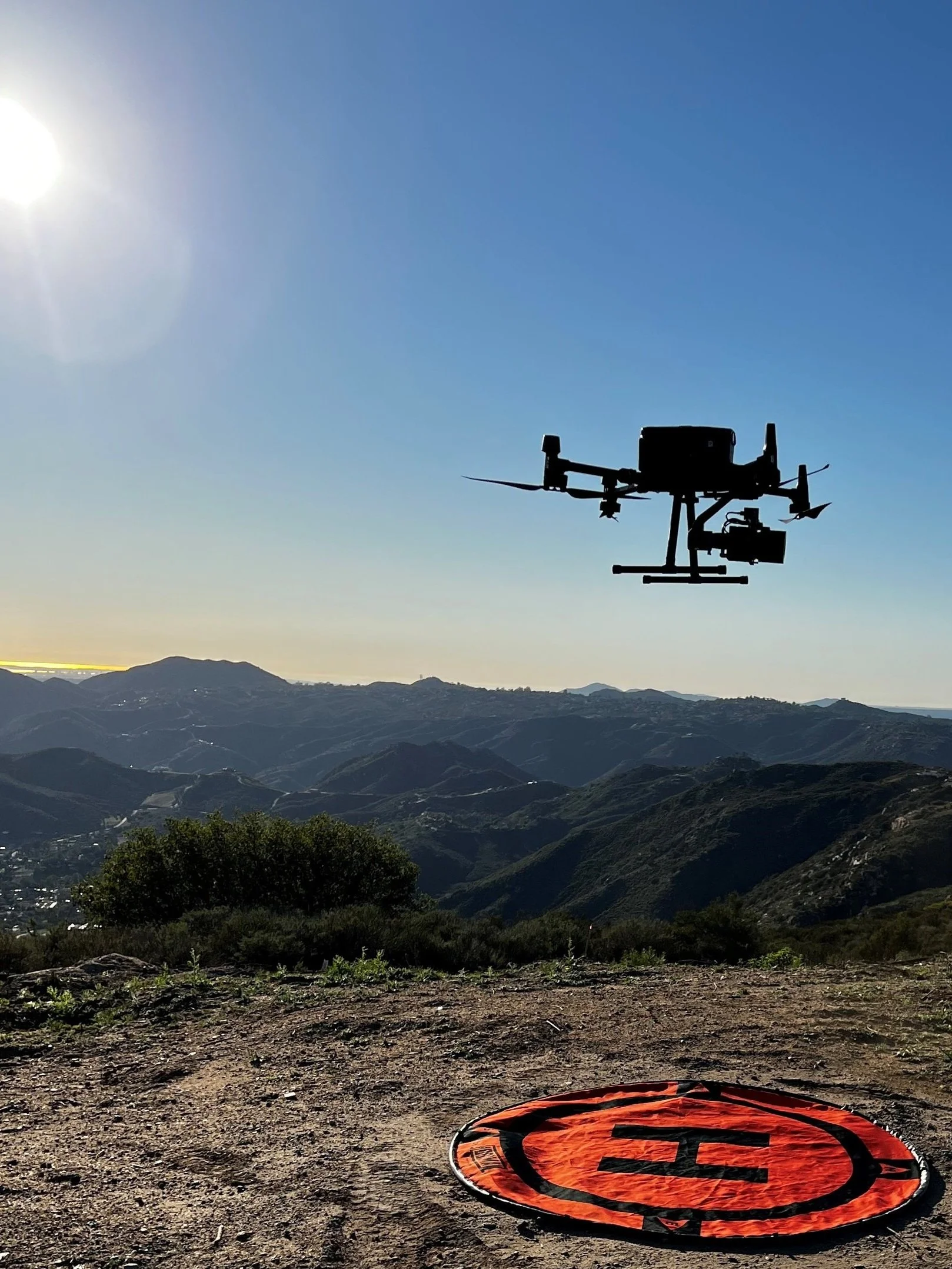
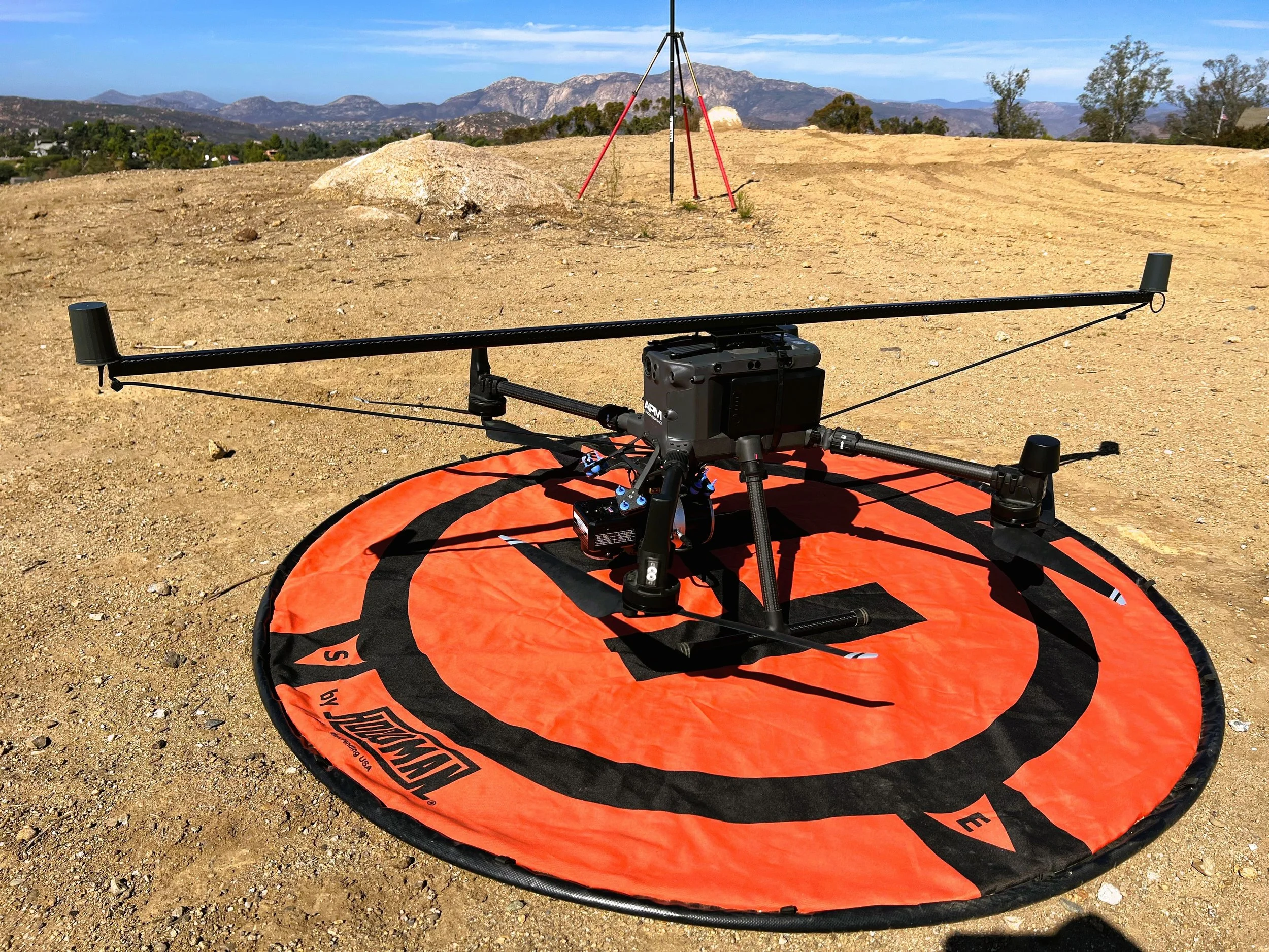
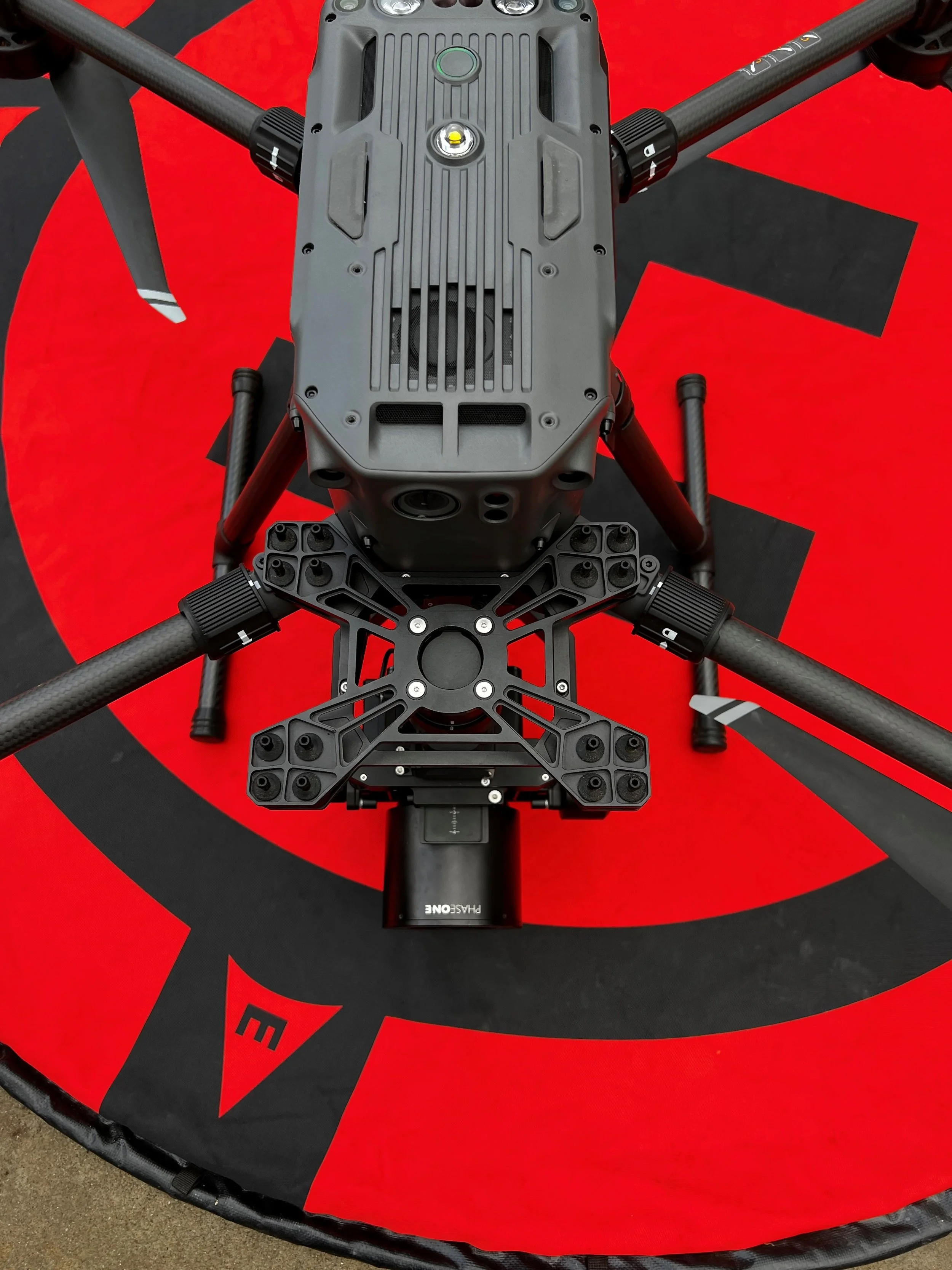
We specialize in professional LiDAR scanning and photogrammetry mapping services for a variety of industries, including construction, land development, and transportation. Our state-of-the-art equipment allows us to provide highly accurate and detailed maps and models for use in projects of all sizes.
We continuously improve our systems and procedures to provide state of the art products.
Our roots as an Engineering firm allows us to provide the most accurate data in the industry.

Services
Find out about our range of services that will help your projects succeed. Utilizing LiDAR and high definition imagery with industry leading survey equipment we can provide simple topographic surveys to inspections and powerline vegetation encroachment analysis.
Get in Touch
Ready to take the next step? Discuss your needs with us and we will help you determine the best solution.